
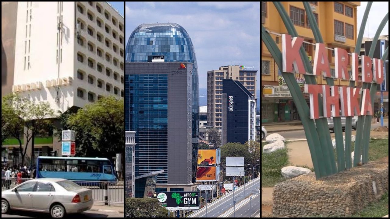
18 Nov 2026 ·
Start at Kencom
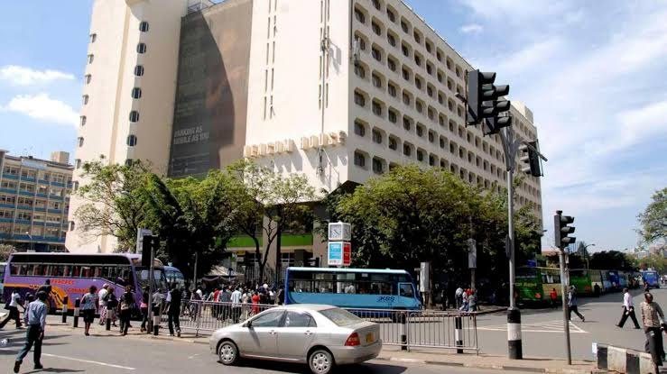
Nairobi is easiest to learn the way people here give directions: by roads, landmarks and matatu numbers. This walk starts at Kencom, the bus stage outside Kencom House in the city centre (Jambo Nairobi), and follows the main roads out one mtaa at a time.
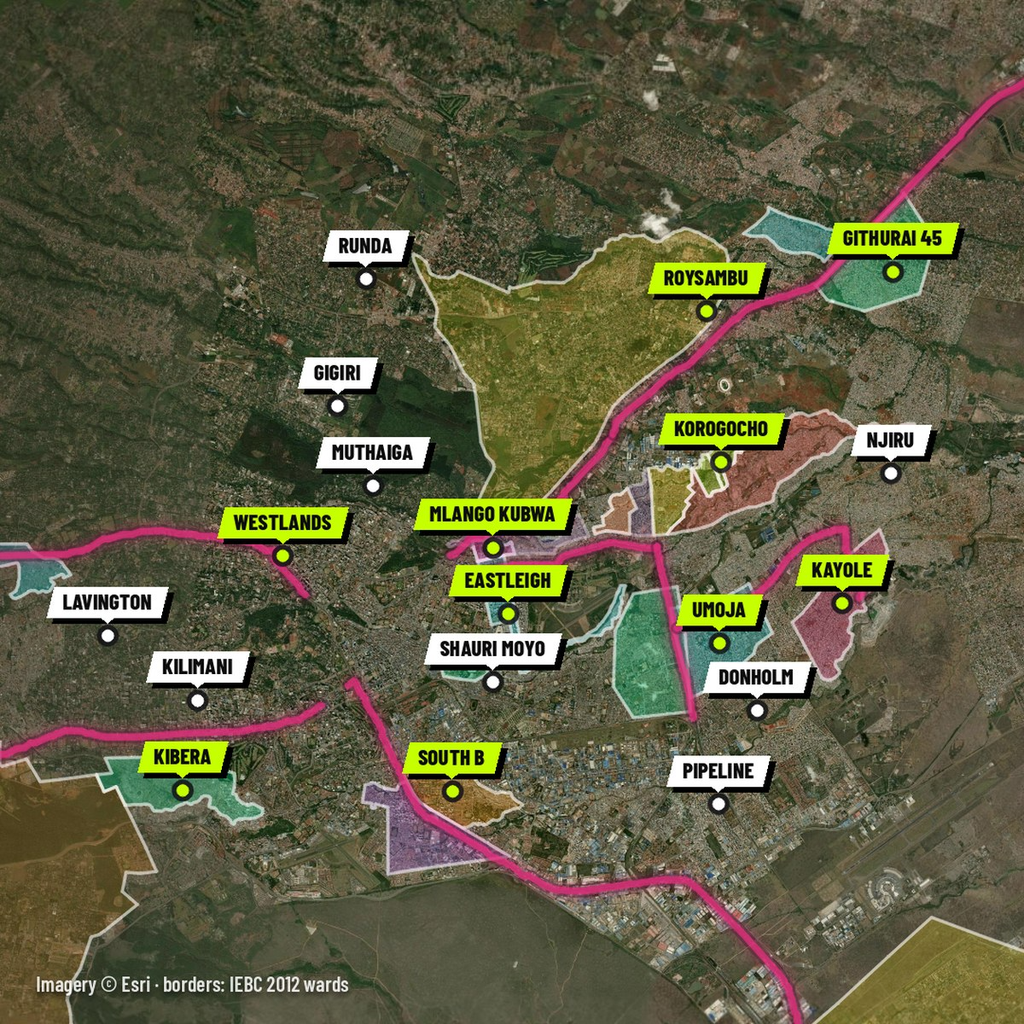
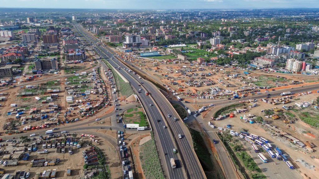
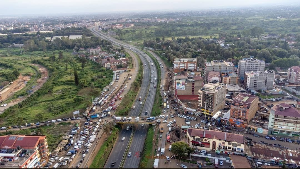
The route runs east to Gikomba and Eastleigh, along Juja Road to Mathare, Korogocho and Dandora, down Outer Ring Road, out along Mombasa Road, west on Ngong Road and Waiyaki Way, and north up Thika Road to Thika, 42 km away.
Several estates still answer to the number of the route that served them: Eastleigh is “Nine”, Buru Buru “Fifty-Eight”, Kibera “Namba Nane” and Ngong “One-Eleven”. Each map below lights up the mtaa’s official ward boundary, so you can see where one ends and the next begins.
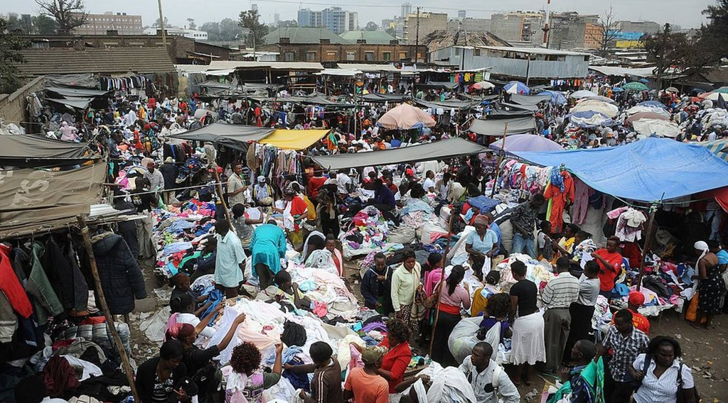
Gikomba
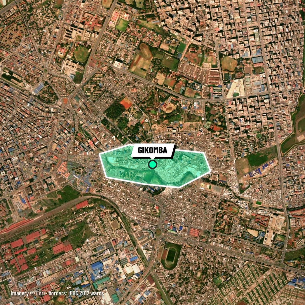
Walk east from Kencom for about twenty minutes and you reach Gikomba, eastern Africa’s largest market for second-hand clothing (CS Monitor). It sits in Pumwani ward, Kamukunji, partly on riparian land along the Nairobi River, and dates back to the 1960s (Eastleigh Voice).
The clothes sold here are mitumba, Kiswahili for bales or bundles: they arrive pressed into bales and are opened at the stalls (Daily Nation). The market draws more than 200,000 people a day (Daily Nation, 2026).
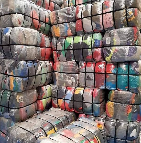
In late March 2026 the authorities demolished sections of the market ahead of a planned relocation, leaving thousands of traders stranded (Daily Nation, 2 April 2026). Gikomba is not a ward of its own, so its outline on the map is approximate.
Eastleigh, “Nine”
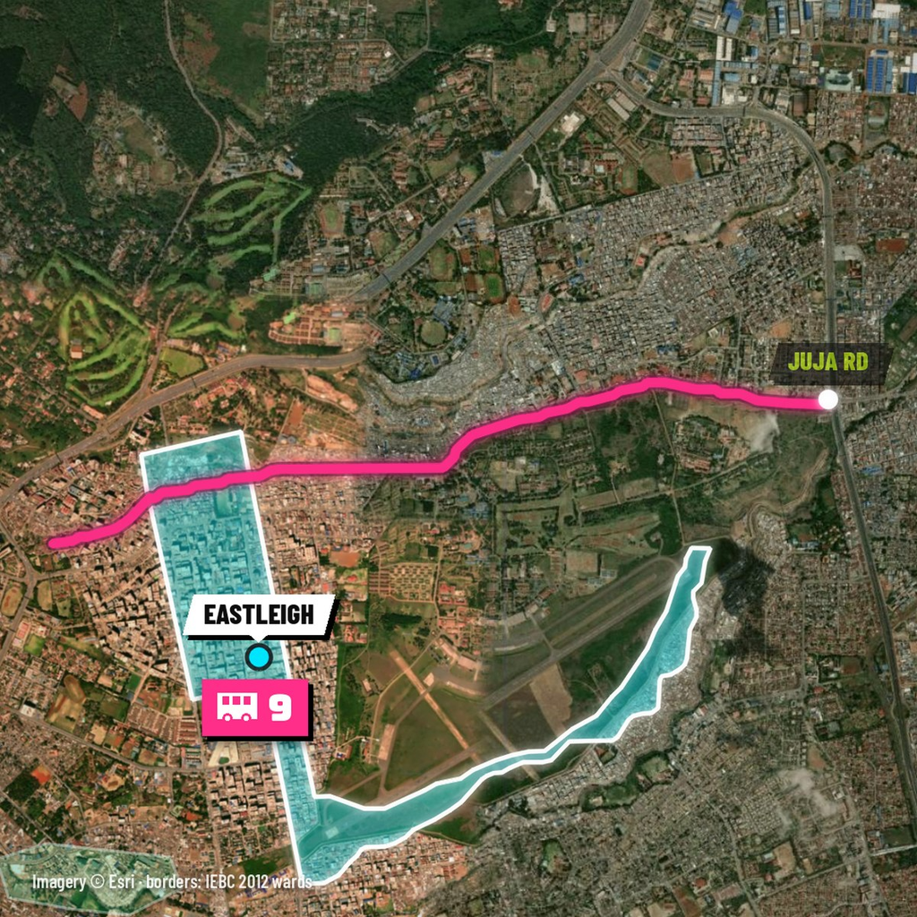
Keep going north from Gikomba and you are in Eastleigh, which Nairobi calls “Nine” after its route number (The Star). Nairobi News traces the estate’s name to Eastleigh in Hampshire, England (Nairobi News).
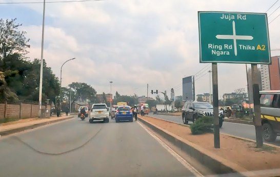
Now take Juja Road out of town. Eastleigh is on your right and Mathare on your left: on the ward map, the road runs along the line between them. The map lights Eastleigh as the Eastleigh North and Eastleigh South wards together.
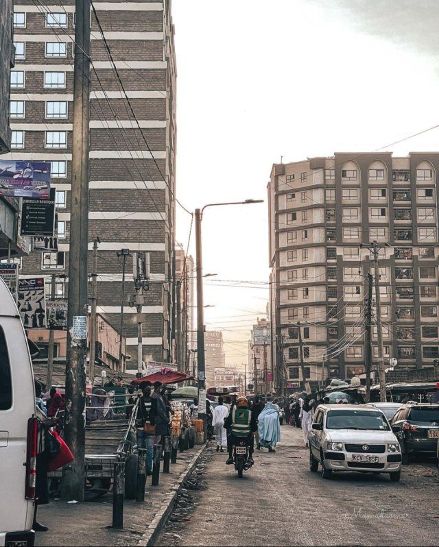
Mlango Kubwa and Mathare
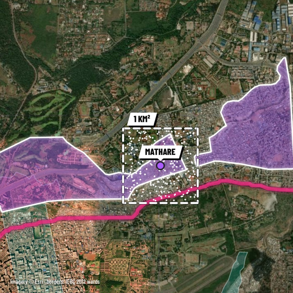
On the left of Juja Road is Mlango Kubwa, Swahili for “the big door”. UN-Habitat lists it as Mathare’s Village 1 (UN-Habitat), and its ward covers just 0.31 km².
Mathare is the most crowded place in Kenya: 68,941 people per square kilometre in the 2019 census, against a national average of 82 (Business Daily). Mathare sub-county’s 206,564 residents share about 3 km² (City Population, from KNBS data).
The map lights Mathare as the five wards of the Mathare constituency: Hospital, Mabatini, Mlango Kubwa, Kiamaiko and Huruma.
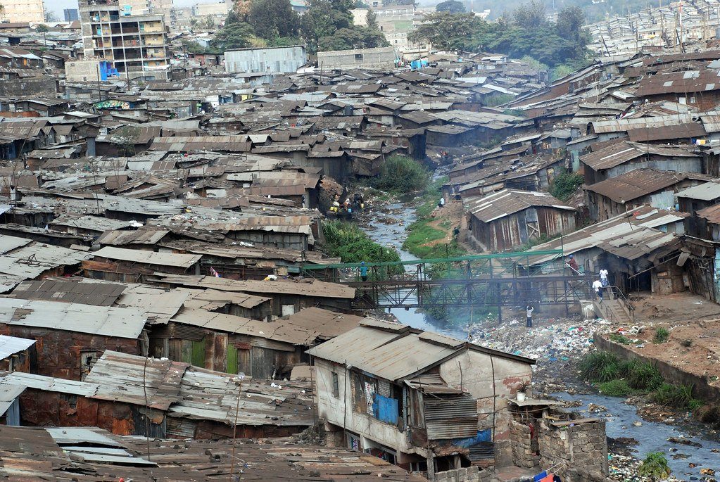
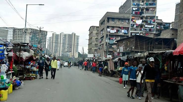
Huruma, Kariobangi and Korogocho
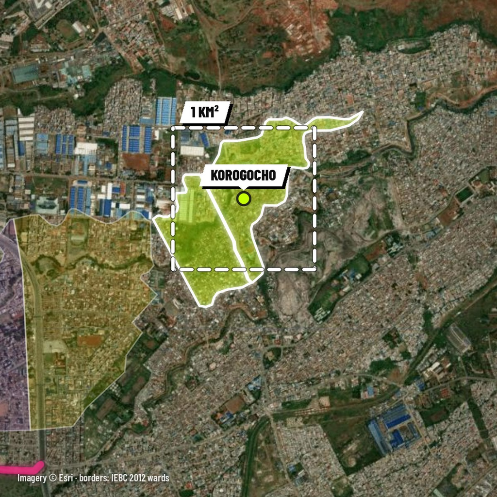
Keep heading east and you pass Huruma and Kariobangi, then enter Korogocho, which many residents simply call “Koch” (Anadolu Agency). Huruma is Swahili for “mercy”.
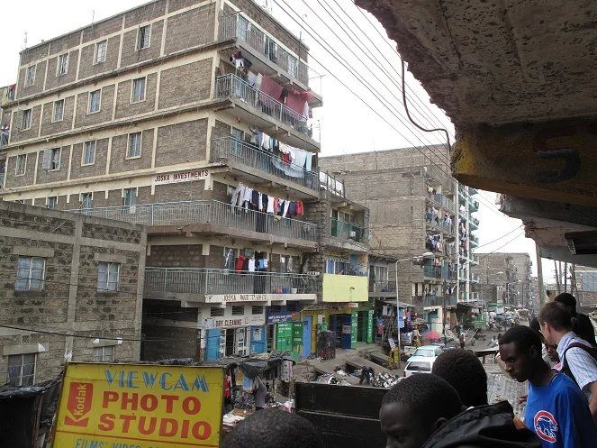
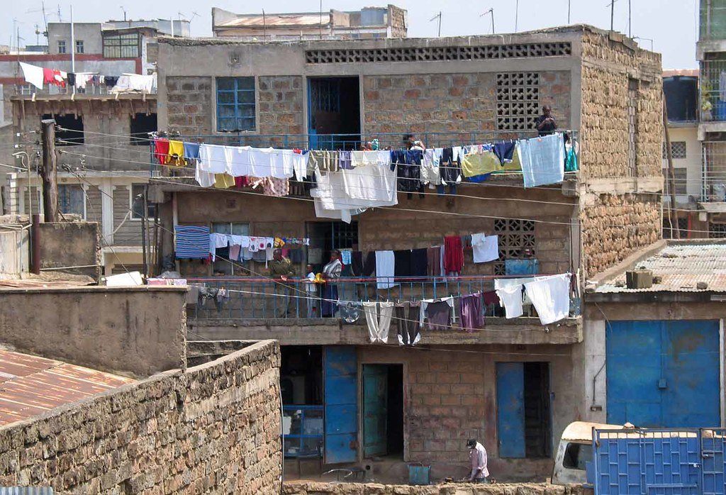
The whole Korogocho ward is smaller than one square kilometre: 0.74 km² on its official boundary. It touches six other wards: Dandora I, II and IV, Kariobangi North, Baba Dogo and Lucky Summer.
Dandora, “D”
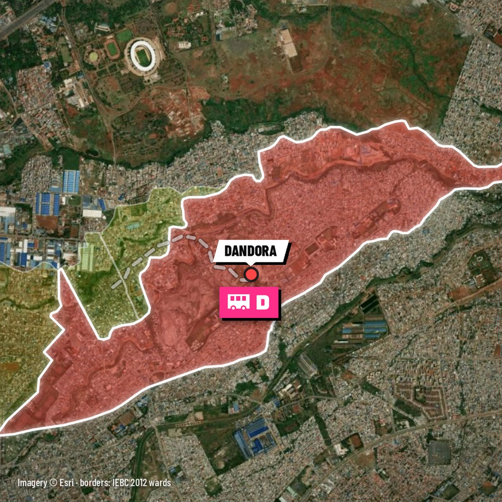
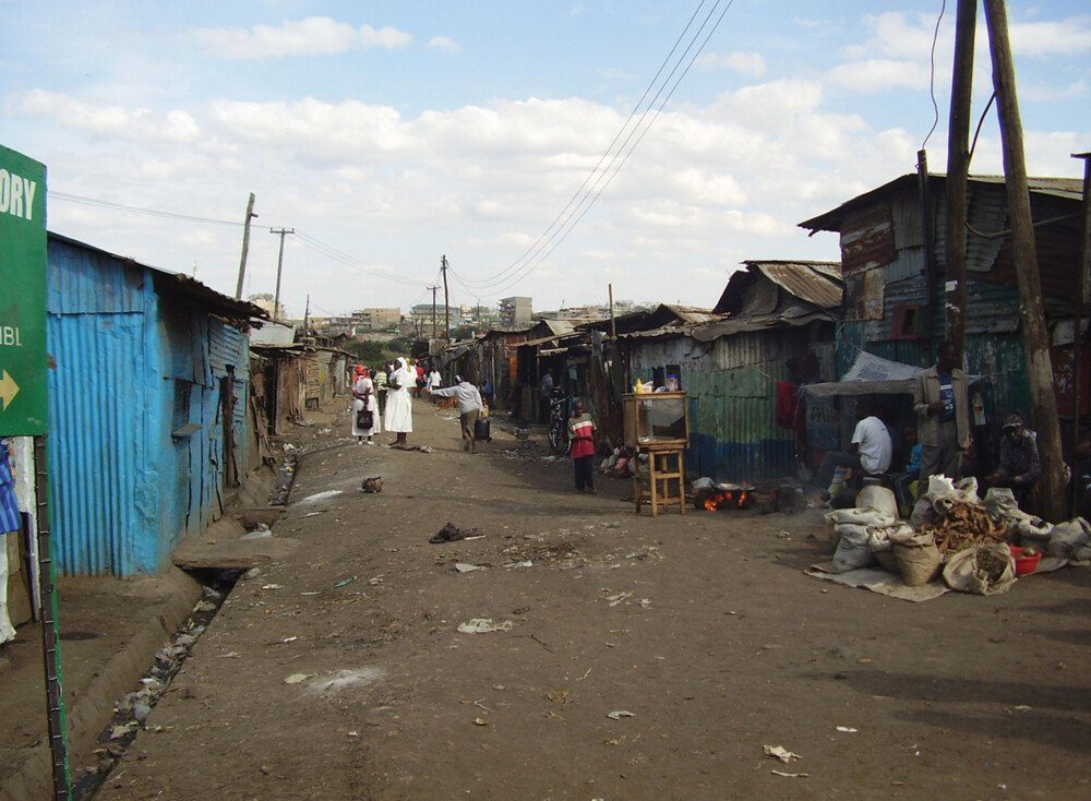
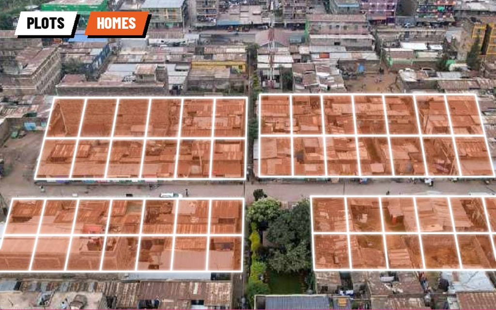
Right next to Korogocho is Dandora, known simply as “D” (The Star). Fifty years ago this was open land on the edge of the city. Between 1975 and 1978 the World Bank and the Government of Kenya laid out 6,000 serviced plots here, each 100 to 160 m², with its own water and sewer connection, road access, security lighting and refuse collection (UNU).
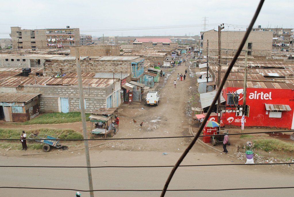
It was the first of Nairobi’s sites-and-services projects. Families received a plot and a basic core of a kitchen and bathroom, then built the rest of the house themselves (World Bank). Not everyone built: many allottees sold or rented out their plots instead (ACSA).
The map lights Dandora as its four wards, Dandora Area I to IV.
Outer Ring Road: Umoja, Buru Buru and Kayole
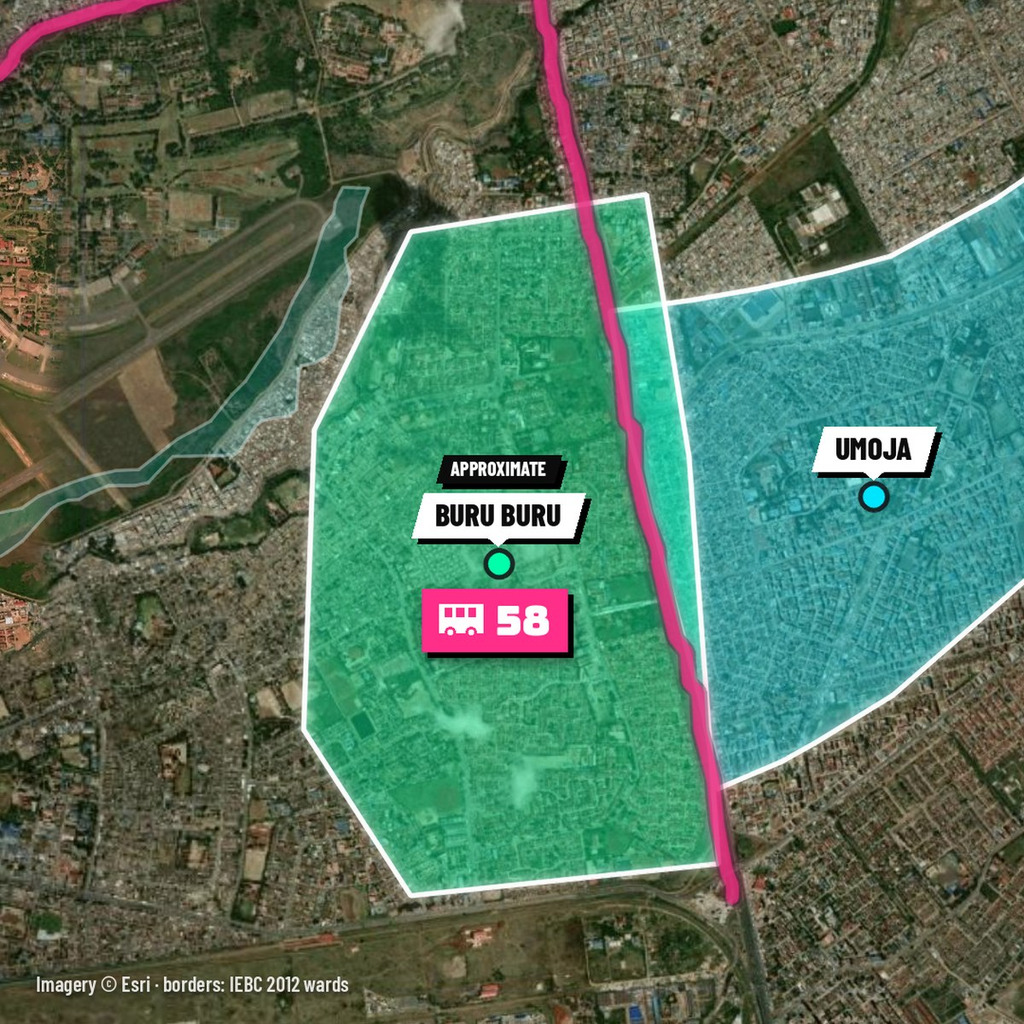
Come down Outer Ring Road and Umoja is on your left, Buru Buru on your right. Buru Buru is “Fifty-Eight” after route 58, which runs from town along Jogoo Road and Rabai Road into the estate (Jambo Nairobi). Umoja is Swahili for “unity”.
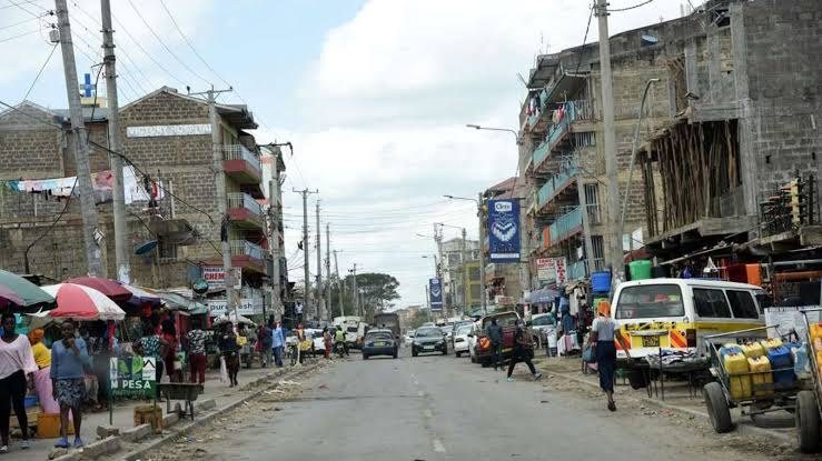
Go further east and you are in Kayole, which some call “Nineteen Sixty” and others “Oyole” (The Star).
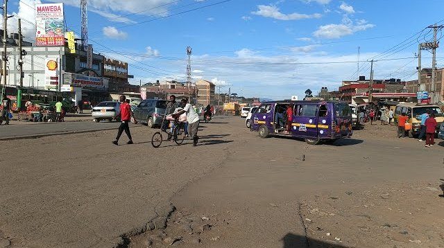
Buru Buru is not a ward, so its outline on the map is approximate. Umoja is lit as the Umoja I and II wards, and Kayole as Kayole North, Central and South.
Mombasa Road: South B to Kitengela
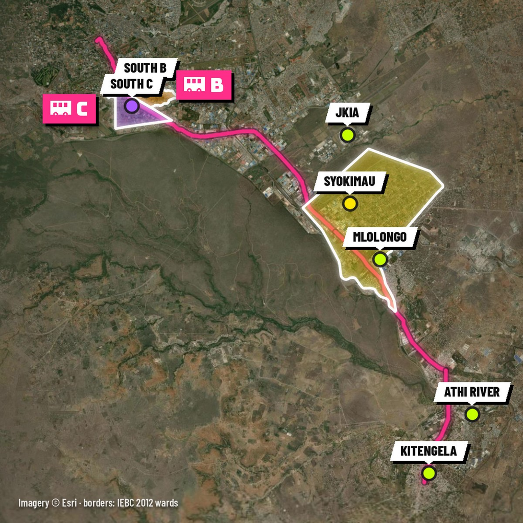
Back in town, take Mombasa Road. You pass South B and South C, just “B” and “C”; South B is also “Eleven” after its route number (The Star). About 18 km out is JKIA, in Embakasi (Wikipedia).
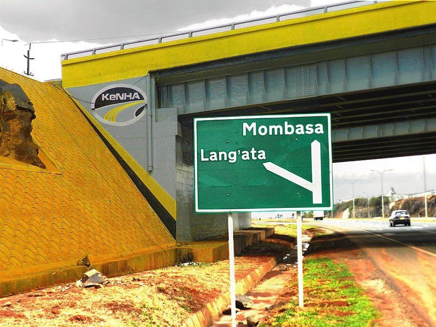
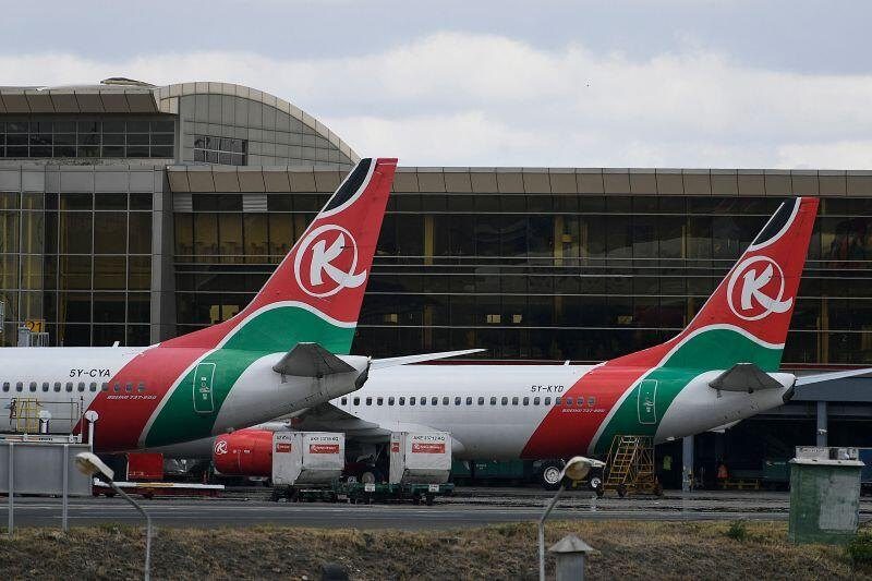
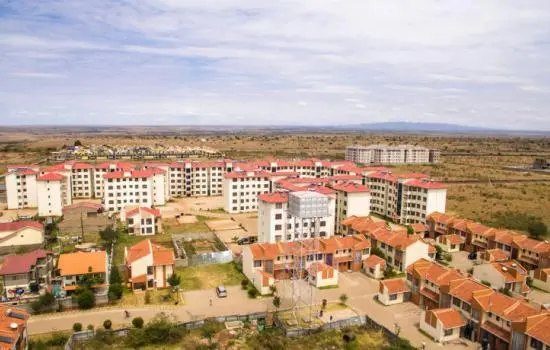
After the airport the road leaves Nairobi County. Syokimau, Mlolongo and Athi River are in Machakos County, and Syokimau and Mlolongo share one ward, Syokimau/Mulolongo. Turn right at Athi River and the Namanga road takes you to Kitengela, in Kajiado County.
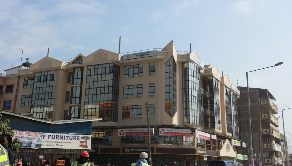
Ngong Road and Waiyaki Way
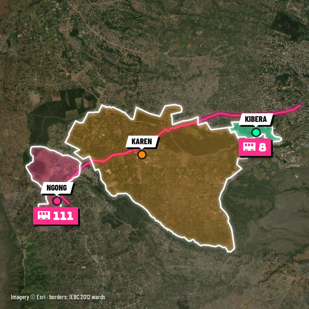
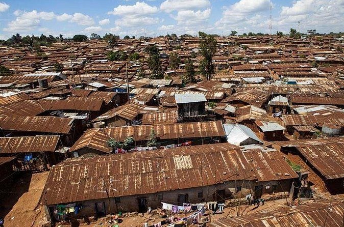
West of town, Ngong Road puts Kibera on your left. Its nickname, “Namba Nane” (number eight), is its route number (The Star). The name Kibra comes from a Nubian word for forest. The British set this land aside for Nubian soldiers decommissioned after the First World War, and Laini Saba, one of its wards, was a King’s African Rifles firing range (Nairobi News).
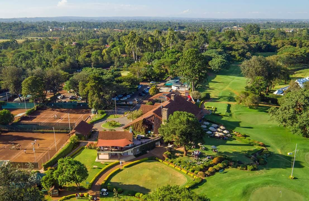
Then comes Karen, named after the Danish author Karen Blixen, whose farm covered the land. Remy Martin, who bought the farm in 1931, named the neighbourhood after her (Nairobi News). The road ends in Ngong town, “One-Eleven”, in Kajiado County.
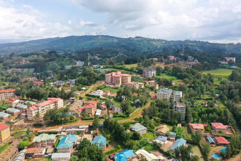
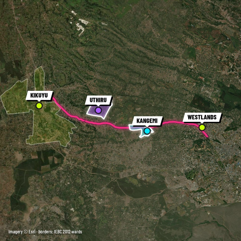
Waiyaki Way, the other road west, runs through Westlands (“Westi”) and Kangemi (“Ungem”) to Uthiru, which straddles the county line with an Uthiru ward on each side. It ends at Kikuyu, in Kiambu County.
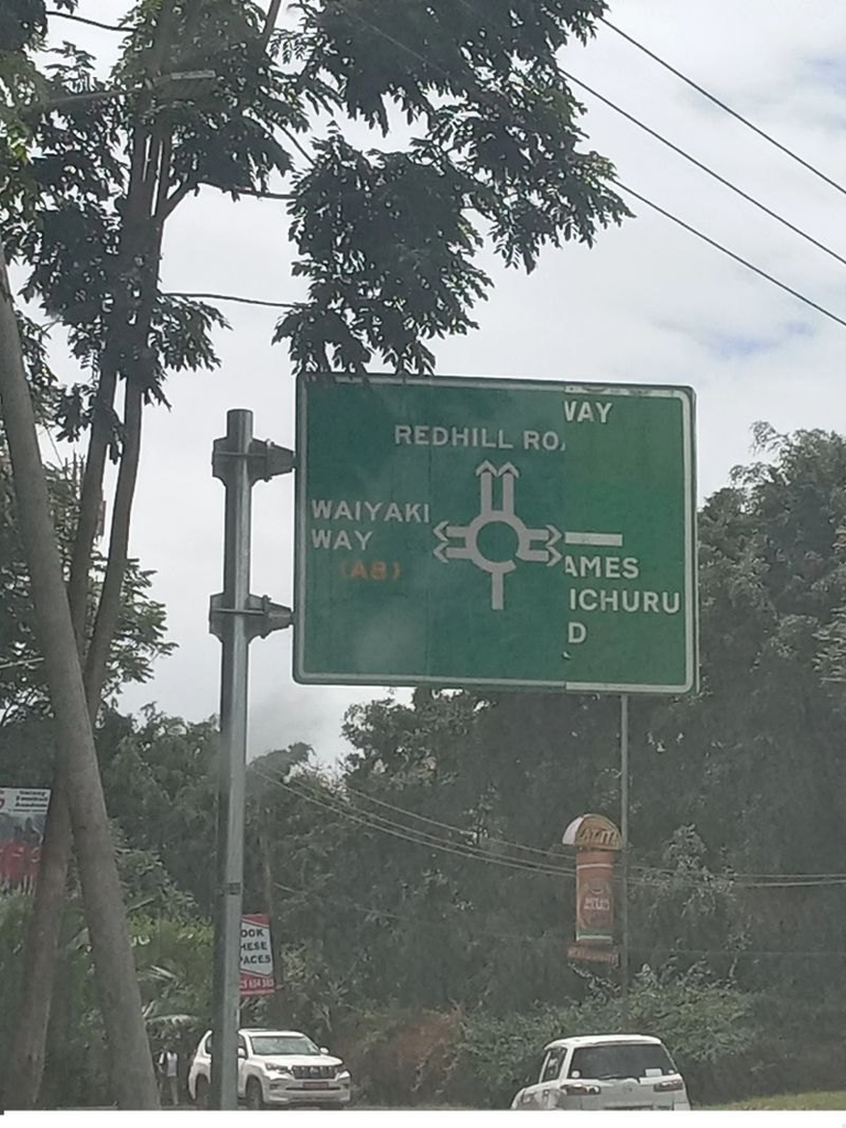
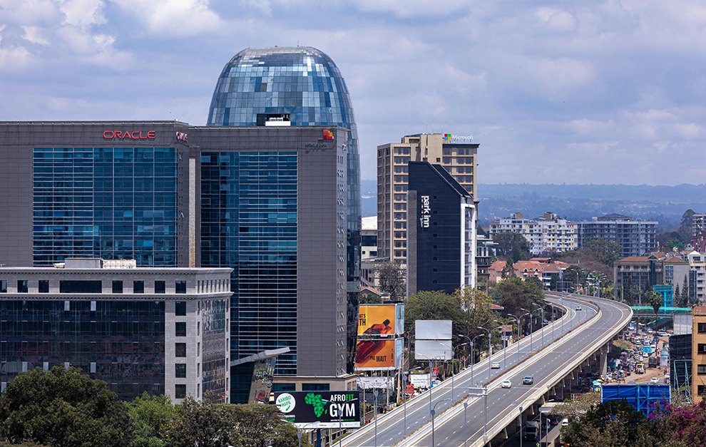
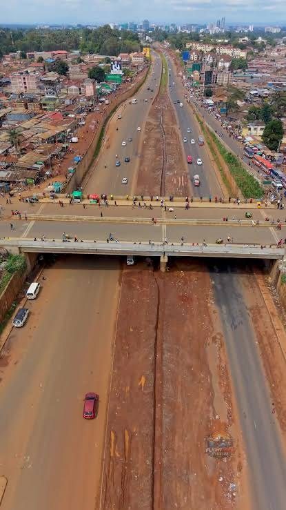
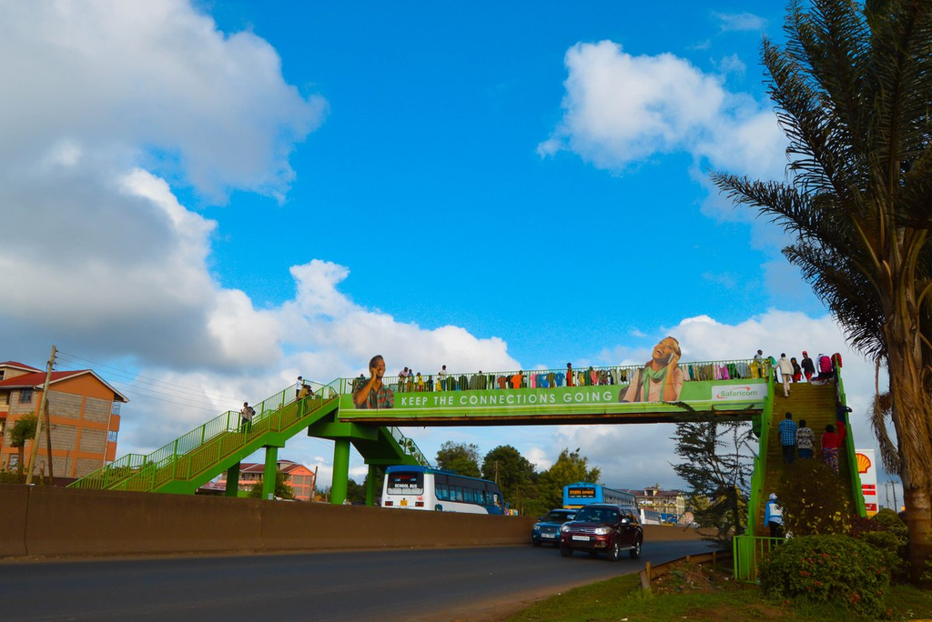
The footbridge at Uthiru.
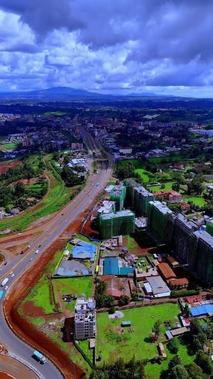
Thika Road: Roysambu to Thika
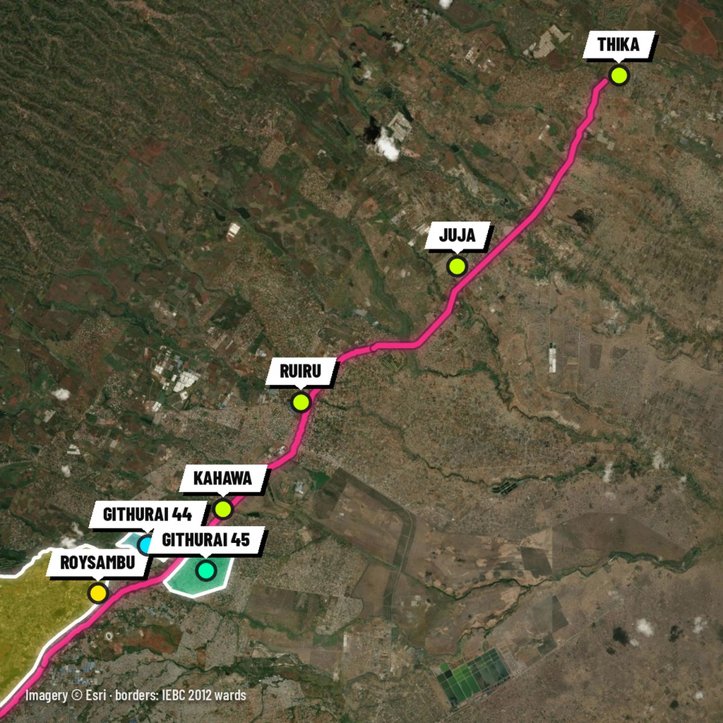
North of town, Thika Road takes you to Roysambu, whose name grew out of “Royal Suburbs”, the colonial-era name (Nairobi News). Next door is Zimmerman, which Nairobi News traces to Tim Zimmermann, a German taxidermist who set up his firm in 1929; other accounts name a different Zimmerman.
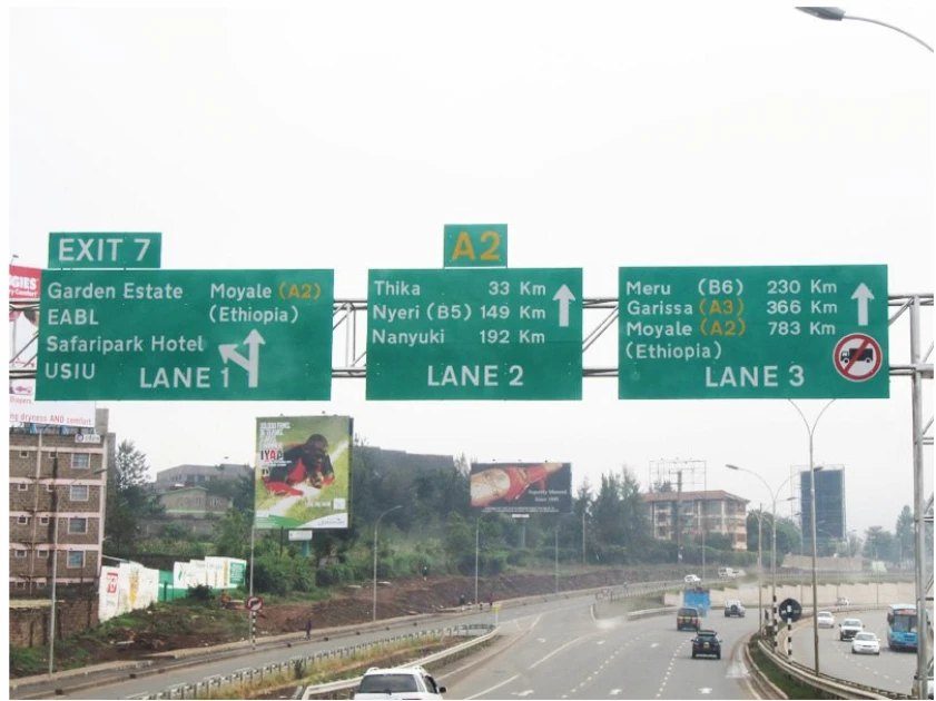
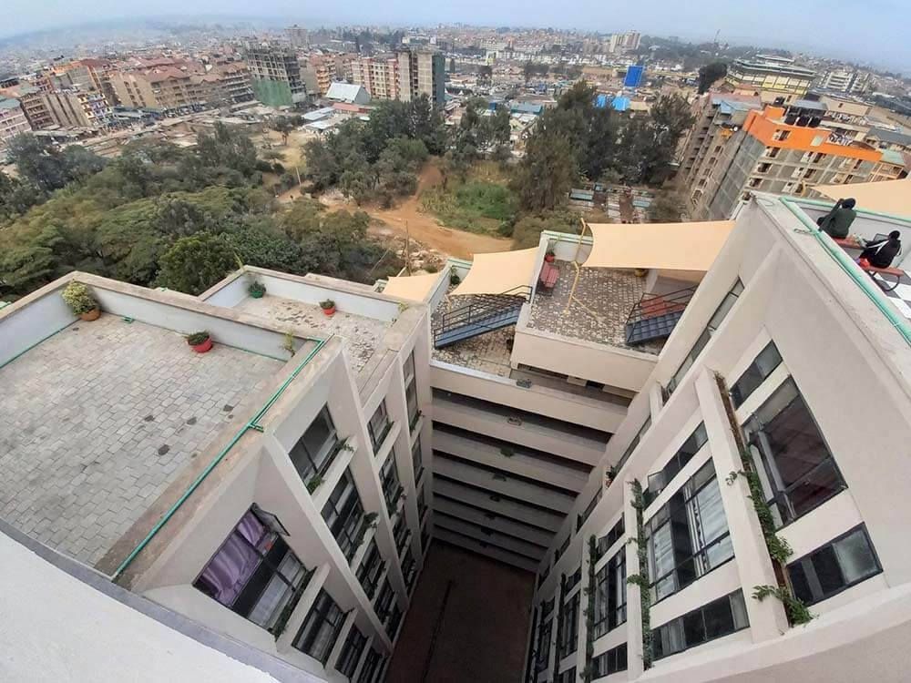
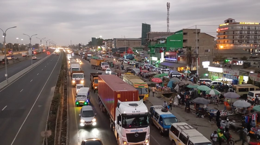
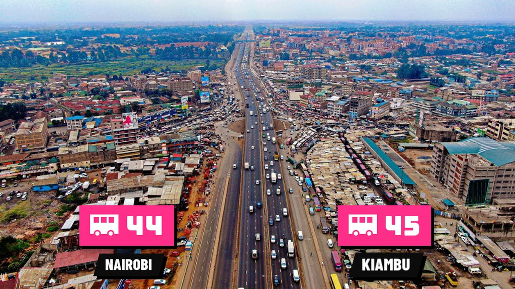
Further out, the highway splits Githurai in two. Githurai 44 is in Nairobi’s Kasarani sub-county and Githurai 45 in Kiambu’s Ruiru sub-county, on opposite sides of the road. Both numbers come from the route numbering of the defunct Nairobi City Council and Kenya Bus Service, and the roundabout between them is known as “Migingo Island” (Mwakilishi).
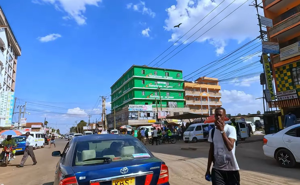
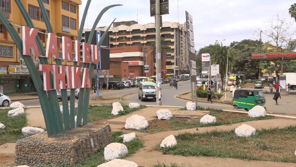
Keep going and you reach Kahawa (Swahili for coffee), Ruiru, Juja and finally Thika, 42 km northeast of Nairobi on the A2 (Wikipedia).
The mtaas the walk skipped
The walk names about thirty places; dozens more appear only as labels on its last map, or not at all. Here they are by the road they sit nearest, with their Sheng names where The Star lists them (The Star).
| Road | Mtaas off it |
|---|---|
| Around town | Ngara, Pangani (“Pango”), Kariokor, Shauri Moyo, Upper Hill |
| Jogoo Road | Makadara, Jericho, Donholm (“Doni”) |
| Kangundo Road | Komarock, Njiru, Ruai |
| Between Juja Road and Thika Road | Mathare North, Baba Dogo, Lucky Summer |
| Thika Road | Kasarani (“Kasa”), Mwiki, Zimmerman (“Zima”), Kahawa West |
| Off Limuru and Kiambu Roads | Parklands, Highridge, Muthaiga, Gigiri, Runda |
| Mombasa Road and Outer Ring Road | Industrial Area, Imara Daima, Pipeline (“Paipu”), Fedha |
| Airport North Road and the Eastern Bypass | Embakasi (“Emba”, or “33”), Utawala |
| Lang’ata Road | Madaraka, Nairobi West (“West”), Lang’ata (“LA”), Ongata Rongai (“Diaspora”) |
| Between Ngong Road and Waiyaki Way | Kilimani, Kileleshwa (“Kile”), Lavington, Kawangware (“Ungwaro”), Riruta, Dagoretti (“Dago”) |
| Waiyaki Way | Kinoo |
Some of the names carry stories. Kariokor is named after the Carrier Corps, the Kenyans who carried supplies for British forces in the First World War. Donholm takes its name from Donholm Estate in Glasgow, the home of a former owner, J.K. Watson (Nairobi News). Nairobi News traces Embakasi to Embakasi Village, which grew up in the 1950s around Embakasi Prison, and Ofafa Jericho to the biblical city (Nairobi News).
Which mtaa is yours?
That’s Nai, from Kencom to Thika, and the mtaas in between.
Tell us your mtaa in the comments and we’ll tell its story next. The walk is also a two-minute Short on our YouTube channel, Kenyan Historical Documentaries.
Sources, maps and credits
Maps. Borders are the IEBC 2012 ward boundaries (kenya-election-data); ward areas such as Korogocho’s 0.74 km² are computed from them. Gikomba, Buru Buru and Githurai 45 are not wards, so their outlines are approximate. Satellite imagery © Esri; roads traced from Esri’s street map.
Sources
- The Star, ‘Diaspora’ and other Sheng words for hoods in Nairobi, October 2019
- Nairobi News, How Nairobi estates acquired their names, part 1 and part 2
- Business Daily, Mathare slums most congested area with 68,941 per square kilometre, 5 November 2019
- City Population, Mathare sub-county, 2019 census (KNBS)
- UN-Habitat, The case of Mathare, 2021
- United Nations University, the Dandora community development project
- World Bank, Expanding Africa’s housing policy options: a second generation of sites and services, 2025
- ACSA, Sites and services from an architectural perspective: Dandora, 2014
- Eastleigh Voice, The history of Nairobi’s Gikomba market and its perennial mysterious fires
- Daily Nation, Gikomba: end of an era, 2 April 2026, and ‘Mtumba’ means bale
- CS Monitor, Kenyan stylists are using the West’s discarded clothing, 19 February 2026
- Mwakilishi, Githurai 44 and 45: neighbourhoods separated by a county line, 27 September 2025
- Anadolu Agency, Korogocho
- Jambo Nairobi, Kencom bus stage and Muthurwa bus station
- Wikipedia, Jomo Kenyatta International Airport and Thika
